Showing posts with label Buffalo Creek. Show all posts

Monday, May 28, 2012

R2G2: Scouting Leg 1

We're getting down to the wire on DK. By this time next week I'll be back here, the race will be over and I'll be on to other things. Ironically the race it self doesn't seem like it's as big a deal anymore. My training has been going so well that I although I know 200 miles in the heat will be an endurance challenge, I know it's well within my range. I suppose something else that reduces my enthusiasm for DK is my excitement about other things. I was beginning to get a little burned out on the long distance gravel. This scouting mission was just the ticket to bring that back. Since I wanted to do very little riding I left the bike at home to avoid temptation.

I had planned to drive down through Woodland Park Saturday check out the town, get some details about resources etc, then drive the first half before camping and driving the second half on Memorial Day. Well, since I didn't get my CV joint fixed last week I was only able to do a day of driving - I didn't like the sounds I was hearing and I didn't want to risk needing to call for a tow way out there. I was able to get some good info on our start location.

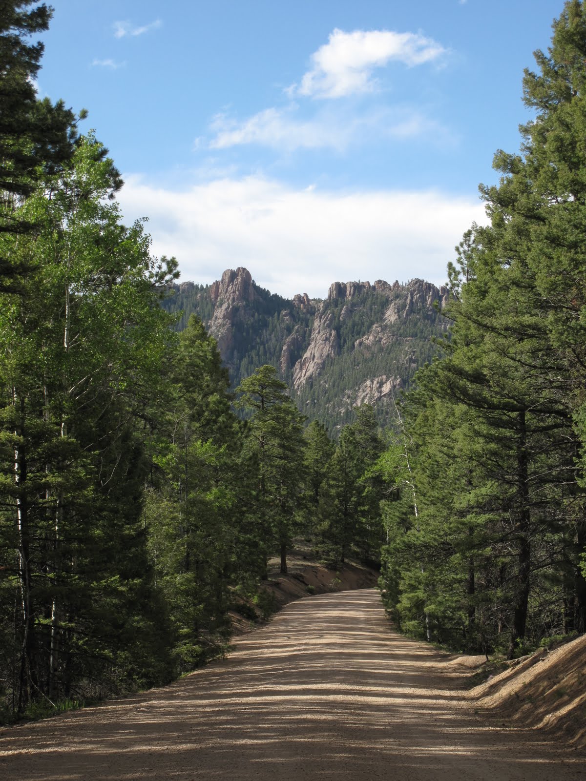
The first leg up Rampart Range Road (RRR) is pretty awesome. There is just a bit of pavement for the first 5 miles or so and an initial climb accompanies this. Up on the ridge there are many miles of scenic views, rocky crags, and quaking aspens. This is gonna be pretty darn cool in late September when the leaves are beginning to change.

RRR is very well maintained. There are a few lengthy sections of washboard, but it always looked as though a bike could find a smooth path. There were also several sections that were a bit more rough, but they never lasted very long and a cross bike still seemed plenty adequate. It's hard to tell exactly what shape the road will be in over the next four months. I've seen a road near Mead go from loose fresh gravel with washboard to concrete hard and smooth in the span of a month.

Coming down towards the Platte River I found that The Sprucewood tavern should still be open from 11am-8pm when we're racing. You'll only hit it around the 40 mile mark, but it's nice to know it's there in case something happens. Going down Pine Creek Road is an interesting affair. There's a half mile section that pitches down at a 15% grade with a cliff to fall off on the left and rock walls on the right. It's over quick and you're rewarded with a very gentle grade in the amazingly gorgeous Platte River Canyon. The current plan is to go through Foxton to Buffalo Creek, which is rather nice, if paved. However, I'm working on contacting some private land owners to see if they'll allow us to roll on their road. It'll will take us past the Bucksnort Saloon on one of the most amazing jaw dropping roads out anywhere.

For now enjoy the images and some damn good reasons to be excited about the backroads here.




The steep bit on Pine Cr Rd. 


Sunday, November 27, 2011

Foxton South Platte

Stellar route! Overall more pavement than gravel by far, but the scenery was amazing.

I discovered this route from reading CDRR - many thanks! There's a great write up of his blog so I won't rehash an already fantastic ride report. The route follows the South Fork of the South Platte river beginning at Foxton, heading to Buffalo Creek on to Deckers and back to the car at Foxton. There are plenty of places to park along the road. While you could certainly do the loop in either direction, the benefit of going counterclockwise is doing the one big hill early.

 I traded pictures with some motorcyclists on the false summit and was rewarded with this odd smirk. 

This ride is about 75% paved and 25% very easy gravel. I was a bit surprised to find that the gravel portion actually has a layer of pavement that comes and goes. Even when it goes the road was well packed. I rode Virgil (my Salsa Vaya) with 42c Continental Tour Ride tires and it seemed like serious overkill.

There are several additions you can make to this route that would increase the gravel and extend the ride. First is an obvious gravel turn off to the East on CO Hwy 67 from S Platt River Rd. A right turn here then a left on W Pine Creek would easily add another 5-8 miles to the total distance, increase the gravel ratio and add a bit more climbing. There are also options to the West that involve heading towards Wellington Lake. I'll need to get up a bit earlier or get a better lighting system to work those in. Something I'm likely to do in the near future if the weather holds.


View ride on Strava.